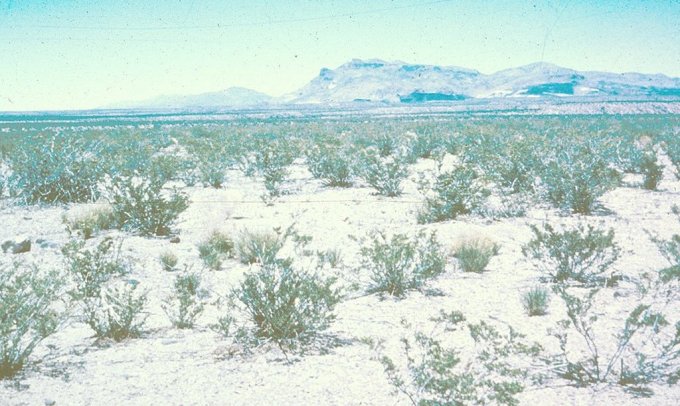
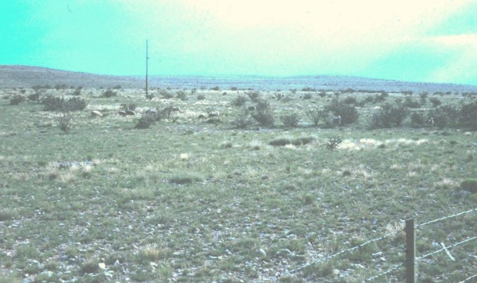
The area once called the desert plains grassland is now termed the southwestern shrub steppe. This area contains the only true shortgrass association in the United States. The current physiognomy supports a shrub-steppe classification, although located within the area are pure shortgrass grasslands of varying sizes. The largest of these areas lies in the Big Bend area of Texas.
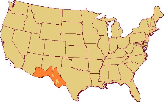
Location. The southwestern shrub steppe extends from southwest Texas across southern New Mexico and northern Mexico, across Arizona to within 160 km of the Colorado River and also occupies large areas of the Mexican plateau. The area is bounded on the southwest by the true desert; on the north at higher elevations by the woodland formation (pinyon-juniper) and by montane forest (ponderosa pine-douglas fir). Along the northeast, except at higher elevation, it touches the mixed prairie along a broad ecotone, and on its east side (in Texas) its contact is with the coastal prairie also in a broad ecotone. There, the shortgrasses have moved out into the Coastal Prairie under the pressure of heavy grazing just as they move into the True Prairie in similar situations.
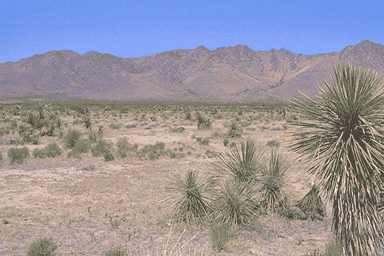
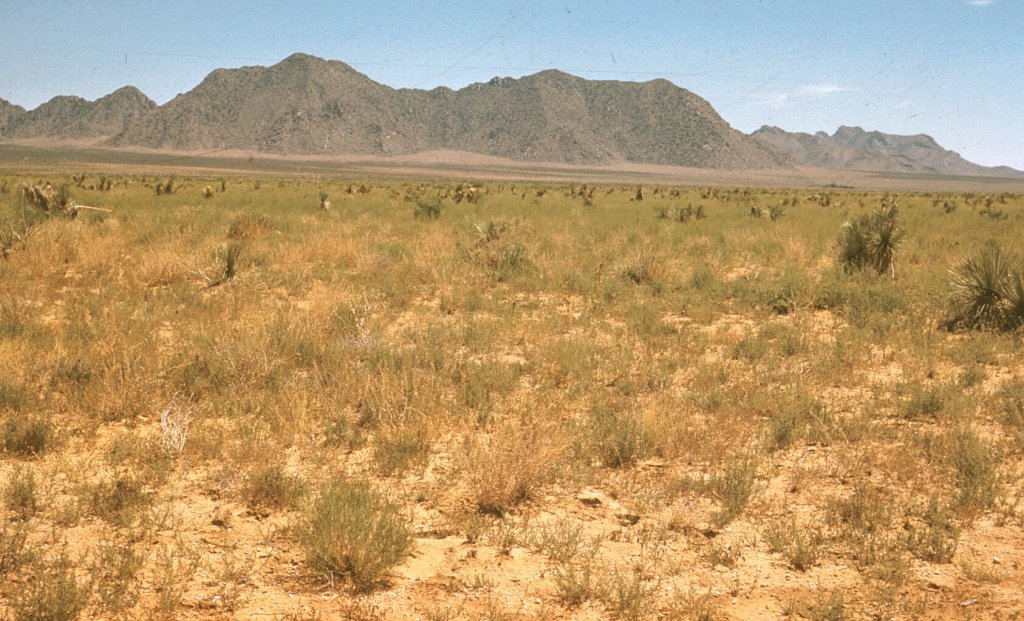
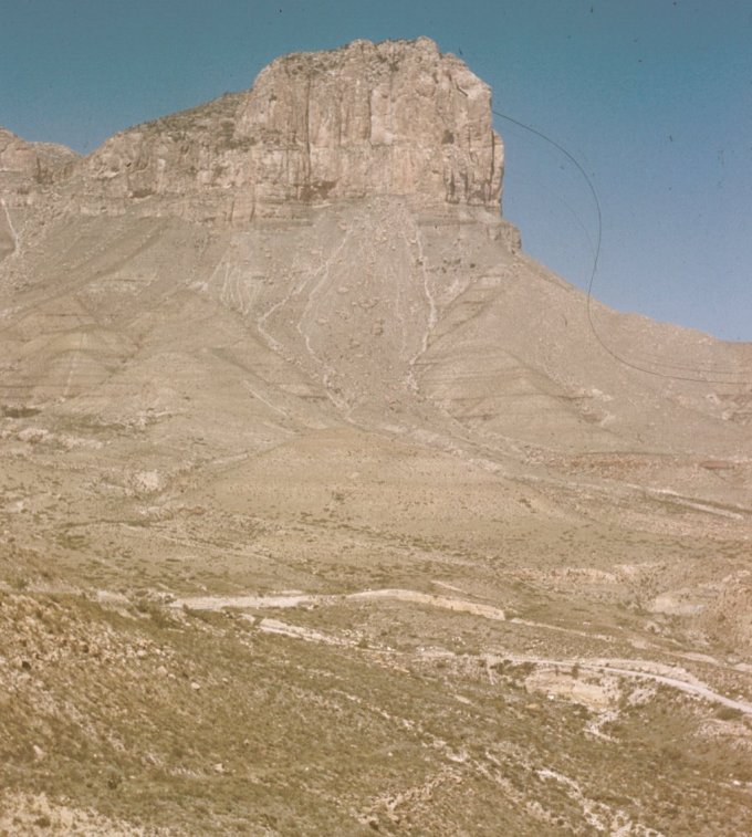
Topography. Elevation ranges up to 1850 meters, but mostly less than 1375. The topography is primarily elevated plains. Southwestern shrubsteppe lies above the true desert shrub (desert formation) and is separated from the latter by the 12-15 cm isohyet and is dissected by repeated parallel chains of moderately high mountains (up to 3,350 meters) running from northwest to southeast.
Climate. This is not a desert, although high summer temperatures, low rainfall, and mild winters may convey that impression. Rainfall varies from 12 to 15 cm along the desert to 45 cm or more along the higher eastern and northeastern parts. Season of precipitation is summer type (or Great Plains) type in the eastern portion with seventy percent falling from April 1 to September 30. Winter type (Pacific influences) patterns exist in the west, with 35% coming in the summer and 65% in the winter. Both effects are felt in the broad central zone. It has "wet" (but not very wet) seasons in both late winter and late summer. Rainfall is the most important climatic factor. Two to five centimeters falling at a critical time may be of great importance, whereas the same amount in more humid areas might not have any noticeable effect if it should fall in already wet seasons. Summers are hot. Below the 900 meter elevation, 55 C temperatures are common from May to October, but nights usually are fairly cool. Winter temperatures are mild by day, but nights often are cold. Average annual evaporation is 195 to 218 cm from a free water table, several times the precipitation received.
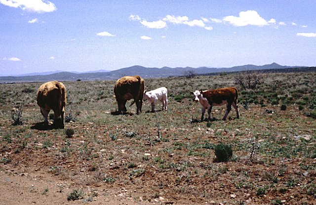
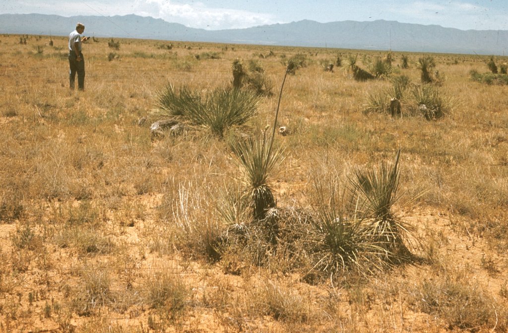
Vegetation. The original (climax) cover included a large number of dominant species, all short grasses and mostly bunchgrasses, though a few sod formers like black grama (Bouteloua eriopoda) and curylmesquite (Hilaria belangeri) were present as well as scattered shrubs [creosotebrush (Larrea divaricata), tarbrush (Flourensia cernua), and mesquite (Prosopis sp.)]. As in the prairie associations, most of the climax dominants are excellent forage species. Midgrasses occur where run-in water is received with sufficient regularity to cause more luxuriant species to grow. There are two major subdivisions of the climax:
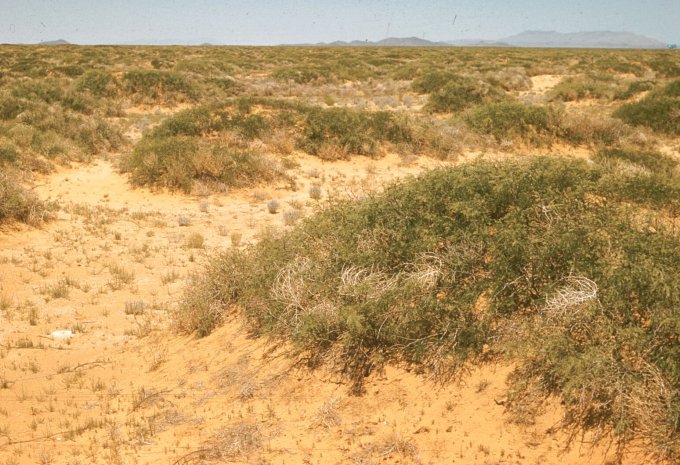
Southwestern shrubsteppe is currently mostly dominated by desert shrubs and annuals, and the area of these is increasing. Even under protection, the grasses cannot eliminate the shrubs even though the grasses are permitted to recover. It is far easier to keep shrubs and other perennial weedy plants out of the vegetation than to drive them out after they have become established.
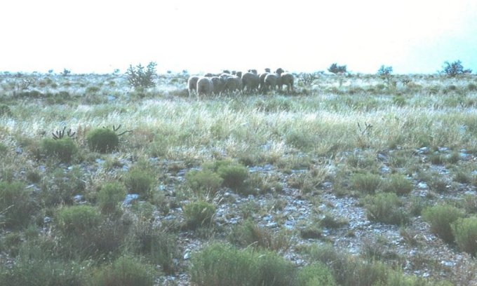
Management. Sustained grazing likely does not exist on the southwestern shrubsteppe of southern New Mexico and other similar ranges. There are periods of high and low forage production, so stocking may have to be varied from high to almost none. Shrubs invade so continued control measures are necessary otherwise an ever-decreasing carrying capacity will occur. Basal area of black grama during extended drought is reduced to about the same minimum irrespective of grazing; however, recovery is greatest under conservative grazing. Tobosa was less sensitive than black grama to changes in precipitation. It is recommended that the number of breeding cows be kept at about 60% of the herd potential to permit reductions in numbers of animals in years of poor forage production. Carrying capacity ranges from 16-24 hectares for animal unit year-long. This area is essentially a cow-calf area with large acreages essentially ungrazed due to lack of sufficient livestock water.